Planning and surveying
When planning and surveying, it is especially important to plan projects without any errors and to record all necessary parameters with the highest possible level of accuracy. However, presentation to customers and committees can also take on an important role. In this context, we see ourselves as a means of support for your project.
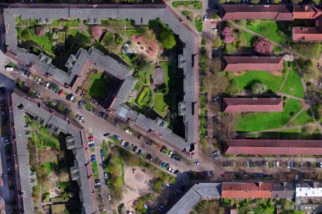
Exact surveying of buildings and objects / orthophotos / building section and volume calculation
We draw on our in-depth experience of creating highly precise, geo-referenced orthophotos for surveying applications. In order to be able to optimally survey buildings and objects, we rely on state-of-the-art equipment and an intelligent mix of technology. These techniques can also be used for volume calculation. Through this, we achieve a top level standard of quality on the topic of precision.
Comparison measurements for the identification of (static) changes
Walls tilt, floors sink. That is only natural. Often, cases like these need not cause alarm, but do call for observation in order to ensure damage is prevented. By using geo-referenced data, it is possible to carry out precise comparison measurements at different points in time. The results show exactly in which places any changes have occurred in comparison with the last measurement. This ensures that abnormalities are always noticed.
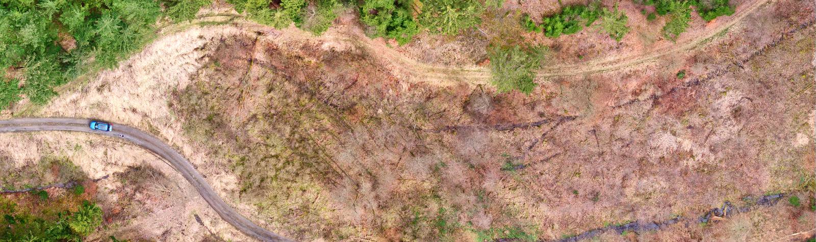
Geo-referencing and digital terrain model
Working with state-of-the-art technology makes it possible to depict extensive areas such as districts, parks and industrial sites in detail, for example in order to to create a digital terrain model. By using Real Time Kinematic (RTK), it is possible for us to calibrate 3D models and orthophotos up to 1cm.
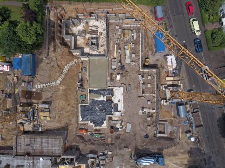
Monitoring and documentation of building work planning
With our help, construction measures can be efficiently monitored and documented in detail. We offer extensive support for the execution of construction work, starting with zero measurement through to the documentation of plan deviations via progress reports. We adapt the level of precision to your individual demands.
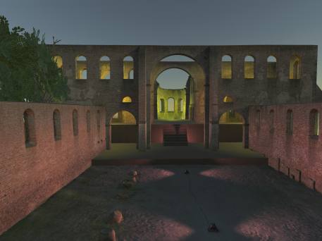
Simulation in the real environment (virtual reality)
Simulations are used to visualise the forecast appearance of a building, a place or a street. Such visualisations are even more impressive when they are projected in a real environment, freely accessible in virtual reality from all perspectives. Our visualisation solution, TopoReal, not only allows us to better identify abnormalities in planning, but it also simulates the shadow cast in different light incidents. Presentation in the form of a VR tour or, similarly, a computer game also creates persuasive power. To allow you to take full advantage of this technology, we individually tailor our output formats to the needs of your systems and programs.
Would you like to collaborate with us or do you have any questions?
If you do, please get in touch with us.