REALITY
SMARTLY
CAPTURED

We create “digital twins” as an exact reflection of reality

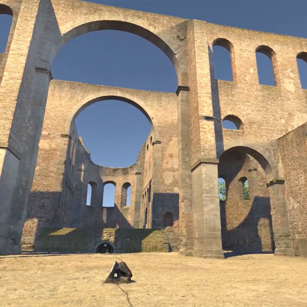
With the help of high-resolution photogrammetry and laser scanning, we create 3D models of objects, buildings and locations as an exact copy of reality. From the ground or the sky, our unique workflow allows us to create images from different perspectives and to combine various measuring methods with an intelligent software solution.

The result is an interactive, walk-through 3D model that is a photorealistic and highly accurate representation of reality – both externally and internally. This not only speeds up work and surveying processes but also makes it possible to realise a lot of other individual applications.

CUSTOM-TAILED SOLUTIONS FOR MANY AREAS

We use advanced technologies and methods to achieve precise recording, detailed analysis and efficient planning in many areas of application.


Culture

We support the documentation and preservation of historical sites and preserve cultural assets for eternity.

Industry

We improve the efficiency of production processes and quality control and make industry fit for the future.

Infrastructure

We secure infrastructure by enabling more accurate planning and management of construction and development projects.


VERSATILE APPLICATIONS

High-resolution image and coordinate capture facilitates the work of planners, surveyors and architects within a wide range of possible applications.

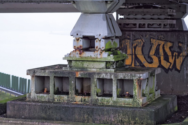
Bridge pier during an inspection
© Harald Biebel – stock.adobe.com

Inspection

Buildings, bridges, wind turbines and complex machines and systems require regular inspections and maintenance as part of renovation and servicing, just like other objects. Scaffolding and the use of climbers or special vehicles can quickly turn these tasks into a time-consuming undertaking. We offer an efficient alternative.

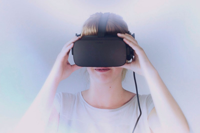
Person with virtual reality glasses

Marketing

Marketing succeeds by creating surprising moments and fresh perspectives for your audience. Across every industry, we reveal extraordinary viewpoints and innovative presentation possibilities, all delivered at the highest quality standard.

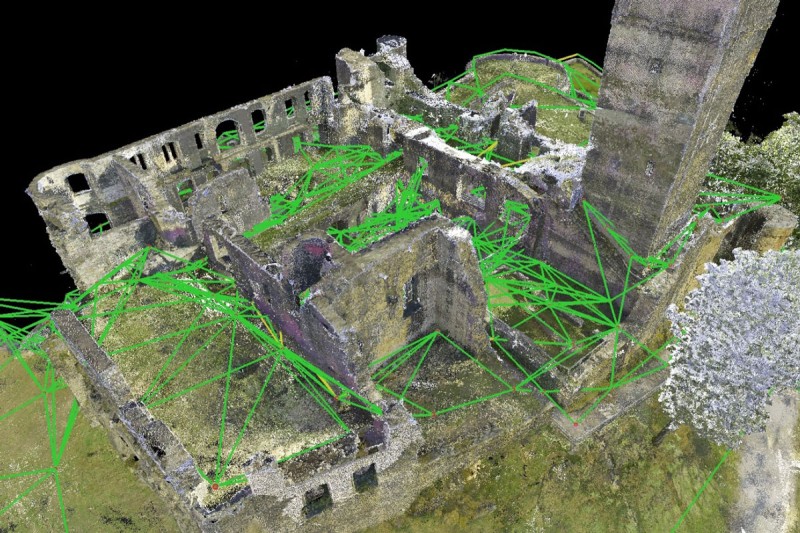
3D visualization via photogrammetry

Digital archiving

Archiving is the digital recording of buildings, objects and places. Our mission is to safeguard culturally and personally significant places for future generations. Depending on the application, we combine various measurement methods such as photogrammetry and laser scanning and combine these with our own VR visualization solution TopoReal.

Digital measurement

Digital measurement

In planning and surveying, it is essential to design projects accurately and without errors, while capturing all relevant parameters with the highest precision. The presentation to clients and decision-makers also plays a significant role. In this context, we see ourselves as a reliable partner, providing essential support for your project.


With our extensive experience, we are happy to advise you on how we can simplify your work.


Einwilligung zur Nutzung. Wir möchten die Informationen auf dieser Webseite und auch unsere Leistungsangebote auf Ihre Bedürfnisse anpassen. Zu diesem Zweck setzen wir sog. Cookies ein. Entscheiden Sie bitte selbst, welche Arten von Cookies bei der Nutzung unserer Website gesetzt werden sollen. Die Arten von Cookies, die wir einsetzen, werden in unserer Datenschutzerklärung näher beschrieben. Sie können Ihre Einwilligung später jederzeit ändern / widerrufen indem Sie in der Datenschutzerklärung entsprechende Anpassungen vornehmen. Mit Klick auf „Alles Ablehnen“ werden alle nicht notwendigen Cookies abgelehnt..