Orthophotos

Exact surveying at the push of a button

Get georeferenced true orthophotos for deformation-true measurements and damage mapping

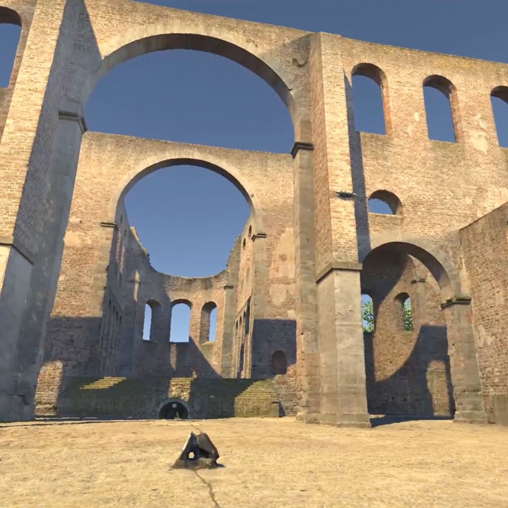
Orthophotos are high-resolution, to-scale images that provide an exact representation of landscapes, buildings and infrastructure. By correcting distortions and perspective errors, orthophotos allow surfaces to be surveyed and analysed accurately, as is often required in complex geographical or urban environments. This technique uses a textured 3D model to generate high-resolution images in a flat, geometrically correct view that shows buildings and landscapes to scale.

Whether for urban planning, landscape analysis or construction project monitoring: Orthophotos provide a detailed and reliable basis for surveying.

Chorfenster
Topotwin
19016_Godehard_Ortho_Boden_4_3000px
Topotwin
19016_Godehard_Ortho_Deckenuntersicht_3000px
Topotwin
Elisabethkirche_Ortho_oben_25mm_2000px
Topotwin


Advantages

  • Accuracy to scale
    Orthophotos deliver a highly detailed and dependable foundation for measurement and decision-making.
  • Precise capture
    The exceptional resolution of orthophotos captures fine details and even subtle changes in surface conditions.
  • Easy integration into GIS
    Orthophotos integrate seamlessly into Geographic Information Systems (GIS), providing a reliable foundation for mapping and analyzing geographic data.
  • Conservation of resources
    Orthophotos can be easily shared and communicated with other project participants. By avoiding on-site visits, costs for travel and manual data collection can be reduced.

Applications

Orthophotos provide true-to-scale data for customers in the following sectors:


town planning and construction

TOWN PLANNING AND CONSTRUCTION

Precise presentation of infrastructure layouts for zoning decisions and development projects as well as regular monitoring of construction progress

monument preservation

MONUMENT PRESERVATION

Error-free measurement of the actual condition for archiving in terms of the reconstruction of historical buildings

engineering

ENGINEERING

Precise surveying for detailed damage mapping

agriculture and forestry

AGRICULTURE AND FORESTRY

Monitoring of agricultural land, forests and harvest conditions to optimize management measures and assess damage

enviromental monitoring

ENVIROMENTAL MONITORING

Accurate assessment of habitat changes, erosion patterns and land use impacts

disatser management

DISASTER MANAGEMENT

Rapid damage assessment, evacuation planning and post-event recovery efforts through detailed, up-to-date geographical information

real estate valuation

REAL ESTATE VALUATION

Precise representations of land and buildings

insurance

INSURANCE

Preparation of damage reports or analysis of risk factors

career-Topotwin

Working at Topotwin

Are you passionate about technological advancements and eager to take on exciting challenges in an innovative environment? Explore our current job openings or send us a spontaneous application – we look forward to getting to know you.

your career

Einwilligung zur Nutzung. Wir möchten die Informationen auf dieser Webseite und auch unsere Leistungsangebote auf Ihre Bedürfnisse anpassen. Zu diesem Zweck setzen wir sog. Cookies ein. Entscheiden Sie bitte selbst, welche Arten von Cookies bei der Nutzung unserer Website gesetzt werden sollen. Die Arten von Cookies, die wir einsetzen, werden in unserer Datenschutzerklärung näher beschrieben. Sie können Ihre Einwilligung später jederzeit ändern / widerrufen indem Sie in der Datenschutzerklärung entsprechende Anpassungen vornehmen. Mit Klick auf „Alles Ablehnen“ werden alle nicht notwendigen Cookies abgelehnt..